
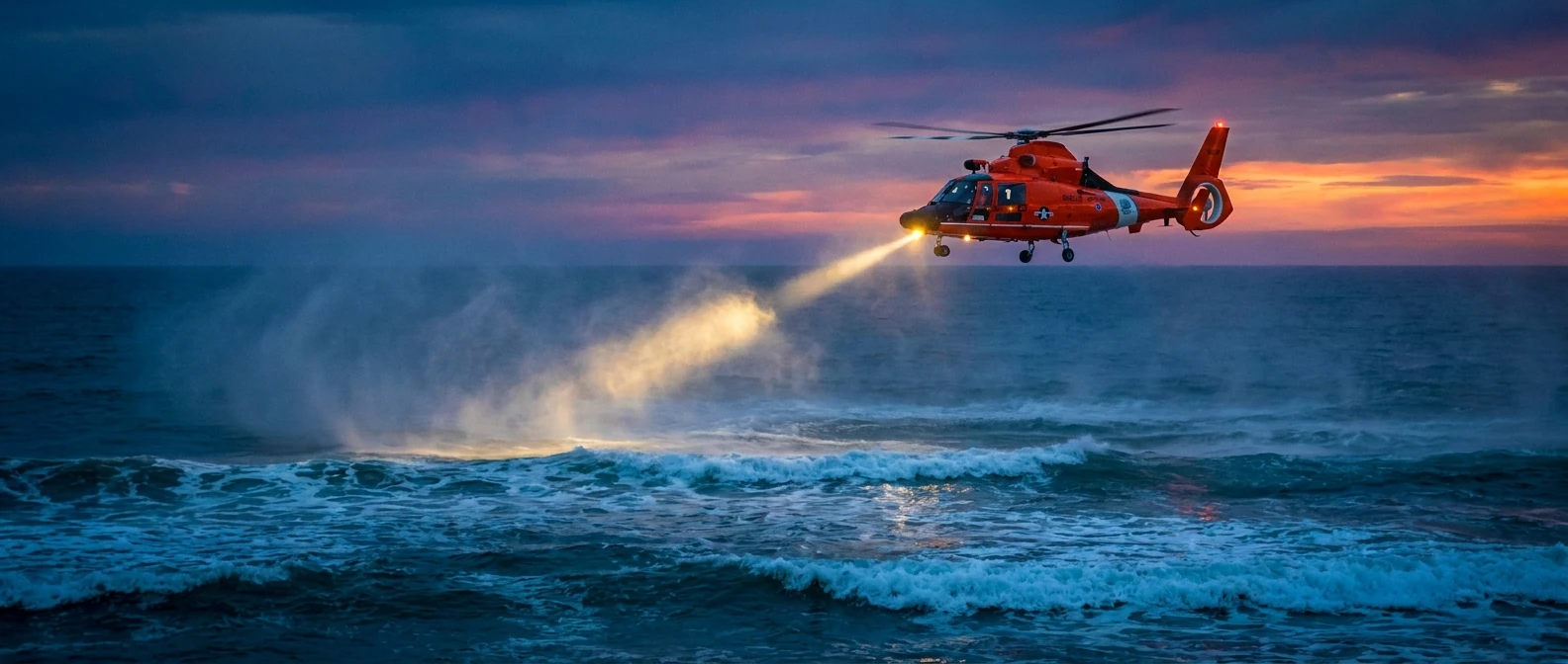
Understanding the Missing Fisherman Phenomenon
When a vessel returns empty or communications abruptly cease, a missing fisherman situation triggers an immediate, highly coordinated maritime emergency response. The ocean is an unforgiving and relentless environment, making commercial and recreational fishing one of the most unpredictable occupations in the world. When authorities receive a distress signal, a triggered emergency beacon, or a report of an overdue vessel, a critical operational clock begins ticking. Coast Guard units, local marine authorities, and civilian first responders collaborate utilizing specialized geographic grid search methodologies. The initial hours of this response window are absolutely critical for survival, particularly in frigid waters where the physiological effects of hypothermia accelerate rapidly. Over the past several decades, continuous advancements in satellite tracking networks, airborne thermal imaging equipment, and computer-driven predictive drift modeling have substantially improved the statistical odds of safely recovering individuals lost at sea. However, modern maritime safety does not rely on cutting-edge technology alone; it depends heavily on meticulous pre-voyage preparation, detailed float plans, and robust communication hardware. This comprehensive overview examines the systemic administrative approach to marine rescue operations, the historical context of maritime distress signaling, the precise physical science behind ocean drift patterns, and the exact step-by-step protocols that families and authorities must follow when a mariner fails to return from the open water.
Core Principles of Maritime Search and Rescue
The fundamental tenets of maritime search and rescue operations revolve around minimizing environmental harm to the victim and maximizing the benefit of swift, calculated action. When coordinating a missing fisherman incident, the primary objective is locating the individual before exposure, dehydration, or ocean hazards compromise their physical ability to survive. The intrinsic value of immediate action lies in drastically reducing the mathematical search radius. For example, an activated emergency positioning indicating radio beacon (EPIRB) can narrow a search area from tens of thousands of square miles to just a few acres within minutes. Another distinct example is the filing of a meticulously detailed float plan prior to departure. A proper float plan provides dispatch authorities with the exact GPS coordinates of intended fishing grounds, allowing high-speed rescue aircraft to bypass irrelevant ocean zones entirely and focus fuel and time on the highest probability areas.
Read also: Understanding a Melbourne Car Chase: Facts and Tactics; Understanding a Dent in Head: Causes and Cures.
| Emergency Search Equipment | Primary Technical Function | Direct Impact on Search Time |
|---|---|---|
| Emergency Position Indicating Radio Beacon (EPIRB) | Transmits continuous GPS location via the international Cospas-Sarsat satellite network | Reduces the initial geographic search phase from hours or days down to a matter of minutes |
| Personal Locator Beacon (PLB) | Broadcasts an individual distress signal directly from the mariner’s physical gear | Pinpoints the exact location of a specific person floating in the water, independent of the main vessel |
| Marine VHF Radio with Digital Selective Calling (DSC) | Automatically broadcasts a formatted digital mayday alert with coordinates | Alerts all nearby commercial and civilian vessels instantly, enabling immediate bystander assistance |
The critical sequential steps that immediate responders take include:
- Comprehensive Information Gathering: Authorities systematically collect vital details regarding the specific vessel’s description, hull color, length, the total number of people on board, and the last known confirmed position.
- Drift Trajectory Calculation: Search coordinators input real-time wind speed, surface water current velocity, and sea state data into specialized algorithmic computer programs to predict the exact path a floating person might travel.
- Strategic Asset Deployment: Rotary-wing helicopters, fixed-wing aircraft, heavy cutter ships, and vetted volunteer civilian boats are deployed in calculated geometric grid patterns to thoroughly cover the predicted environmental drift area.
- Continuous Communication Relays: Automated and manual continuous marine radio broadcasts request all maritime vessels in the general vicinity to maintain a sharp visual lookout and immediately report any floating debris, oil slicks, or direct sightings.
The Origins of Maritime Search Protocols
Historically, when a mariner failed to return to port, the emergency response relied entirely on visual spotting and the inherent goodwill of neighboring merchant and fishing boats. Coastal communities and harbormasters would ring heavy iron bells and light massive signal fires along the shoreline cliffs, hoping to guide the lost and disoriented vessel safely home through the fog. The concept of an organized, state-sponsored rescue service began to take a definitive shape in the late 19th century, heavily driven by the increasing frequency of catastrophic shipwrecks and the staggering, devastating loss of life among expanding commercial fishing fleets. Early coastal rescue stations were predominantly manned by dedicated local volunteers equipped with simple wooden rowboats, rudimentary cork life vests, and heavy line-throwing cannons designed to shoot ropes out to stranded ships.
The Evolution of Distress Signaling
The tragic sinking of the RMS Titanic in 1912 fundamentally altered global maritime safety standards, directly leading to the creation of the International Convention for the Safety of Life at Sea (SOLAS). For independent fishing crews, this eventual global standardization meant the mandatory carriage of specific, regulated safety gear. Visual distress signals, which originally consisted of basic handheld flares and floating orange smoke canisters, gradually evolved into highly sophisticated electrical and long-range radio systems. The mid-20th century saw the widespread introduction of Loran-C hyperbolic radio navigation and early Very High Frequency (VHF) radios, allowing a vessel in distress to communicate far beyond the traditional visual horizon. However, despite these advancements, determining the exact mathematical location of a drifting crew member still required extensive manual chart plotting, dead reckoning, and a significant amount of educated guesswork.
The Modern State of Rescue Operations
Today, the official response to a missing fisherman is an incredibly high-tech, multi-agency operation governed by strict international treaties and executed by highly trained military and civilian professionals. Organizations like the United States Coast Guard and international maritime counterparts heavily utilize the Cospas-Sarsat satellite system, which can precisely detect digital emergency beacons activated anywhere on the globe. Modern search aircraft are heavily equipped with forward-looking infrared (FLIR) camera systems that easily detect human body heat radiating against the cold, dark ocean backdrop. Furthermore, automated identification systems (AIS) continuously track commercial vessels in real-time via satellite, creating a transparent, highly accurate digital map of global ocean traffic. This integrated technological ecosystem ensures that a modern marine rescue operation is entirely data-driven, heavily reducing the critical time it takes to deploy a trained rescue swimmer directly into the water alongside the survivor.
The Science of Ocean Drift and Leeway
Locating a small person or a submerged vessel lost in the vast expanse of the sea is a highly complex mathematical and environmental challenge. Search and Rescue Optimal Planning System (SAROPS) is the primary technical software utilized by modern coast guard commands to dynamically calculate a precise search area. The advanced system factors in two primary physical forces: surface water currents and leeway drift. Ocean currents dictate how the actual water mass moves the floating object, while leeway refers to the physical effect of atmospheric wind pushing against the exposed surface area of the vessel or the person’s body. A large commercial fishing trawler sits relatively high in the water and naturally catches significantly more wind, whereas a single person wearing a standard life jacket sits very low in the water column and is primarily influenced by subsurface currents rather than wind. Understanding the distinct mathematical difference between these specific environmental vectors allows scientists to generate highly accurate probability maps, continuously displaying the most likely locations of the target over an extended period.
The Physiology of Cold Water Immersion
The human body reacts incredibly aggressively to sudden immersion in cold ocean water. Maximum survival times are heavily dictated by the specific water temperature, the individual’s body mass index, and the presence of specialized protective clothing, specifically insulated neoprene survival suits, commonly referred to as immersion suits. A highly critical technical concept taught in maritime survival courses is the recognized 1-10-1 principle of cold water immersion.
- 1 Minute (Cold Shock Response): Initial sudden immersion causes massive involuntary gasping and extreme hyperventilation, drastically increasing the immediate risk of water inhalation and sudden drowning.
- 10 Minutes (Cold Incapacitation): The human body naturally restricts arterial blood flow to the extremities to protect the vital core organs. Muscles and nerves in the arms and legs quickly stop functioning properly, making it physically impossible to swim, tread water, or hold onto a deployed rescue line.
- 1 Hour (Severe Hypothermia): Core body temperature drops dangerously below 95 degrees Fahrenheit (35 degrees Celsius), directly leading to severe mental confusion, loss of consciousness, and eventually fatal cardiac arrest, unless the individual is adequately insulated by a specialized waterproof survival suit.
- Thermal Conductivity Factors: Ocean water conducts essential heat away from the human body approximately 25 times faster than ambient air of the exact same temperature, making swift, immediate physical extraction the absolute highest priority in any ongoing marine rescue operation.
Step 1: Confirm the Float Plan Variations
The very first action is to physically check if the crew deviated from their originally intended maritime route. Families and dispatchers should immediately review any written logs, digital text messages, or verbal itineraries left behind prior to the voyage to establish a baseline starting point.
Step 2: Establish Last Known Communications
Coordinators must systematically compile all recent cellular text messages, satellite phone calls, and VHF radio check-ins. Identifying the exact minute and timestamp of the final successful transmission provides the absolute starting point for accurate environmental drift modeling.
Step 3: Contact the Coast Guard Immediately
Do not wait for a prolonged period. Report the unfolding situation directly to the official maritime rescue coordination center (MRCC) without delay. Provide the specific vessel registration number, exact overall length, distinct hull color, and the total number of souls on board.
Step 4: Broadcast to the Local Commercial Fleet
Effectively utilize local harbor masters, marina operators, and regional fishing cooperatives to broadcast an urgent lookout request to all commercial and recreational vessels currently operating anywhere near the last known fishing area.
Step 5: Gather Crew Medical Profiles
Provide the rescue coordinators with the comprehensive medical history of the crew members involved. Knowing if someone requires daily medication or has underlying conditions that severely affect cold tolerance helps dispatchers prioritize emergency medical readiness upon physical recovery.
Step 6: Coordinate with Available Aerial Assets
If private civilian pilots, commercial helicopters, or long-range drones are available, integrate their planned flight paths directly with the official Coast Guard grid command to ensure perfectly safe and highly comprehensive airspace management during the visual search phase.
Step 7: Manage Public Information and Operational Support
Designate a single, calm family liaison to officially handle all media inquiries and public community updates. This strictly prevents the spread of false rumors, keeps emergency phone lines entirely clear for official tactical updates, and ensures the search team is not constantly distracted by unverified false reports.
Myths and Realities of Maritime Distress
Myth: You must legally wait a full 24 hours before reporting a marine vessel as officially overdue or missing.
Reality: There is absolutely no waiting period for maritime emergencies. You should contact the Coast Guard the exact moment a vessel misses its scheduled check-in or designated return time.
Myth: Wearing heavy rubber boots and thick foul weather gear will immediately pull you underwater if you fall overboard.
Reality: Most modern foul weather gear and heavily insulated boots provide a degree of inherent buoyancy. The air temporarily trapped inside the clothing layers can actually assist in keeping you afloat if you remain calm and avoid thrashing.
Myth: A standard throwable life ring guarantees survival until professional help finally arrives.
Reality: While a life ring provides excellent basic flotation, it offers zero thermal protection from the elements. Cold water incapacitation can easily cause a person to lose their physical grip on the rigid ring within mere minutes, emphasizing the absolute necessity for wearable, insulated life jackets and proper survival suits.
What precisely defines an overdue vessel?
An overdue vessel is strictly defined as a boat that has completely failed to return to port or reach its intended destination by the specific time explicitly stated in its filed float plan.
How does the Coast Guard conduct searches at night?
Search crews utilize military-grade night vision goggles (NVGs) and highly sensitive forward-looking infrared (FLIR) thermal sensors to easily detect tiny heat signatures floating on the dark water.
Can standard cell phones work effectively offshore?
Reliable cellular service typically ends abruptly just 10 to 15 miles offshore, making high-powered VHF radios and dedicated satellite communication devices absolutely mandatory for maritime safety.
What exactly is an EPIRB?
An Emergency Position Indicating Radio Beacon is a specialized waterproof device that automatically transmits distress signals and accurate GPS coordinates directly to global search and rescue satellites.
How long do active search operations usually last?
Active searches continuously proceed until the calculated mathematical probability of human survival reaches absolute zero, factoring in exact water temperature and available onboard survival gear.
Do local civilian volunteers actively help in these searches?
Yes, experienced local mariners often provide crucial assistance, safely operating strictly under the direct tactical coordination of the official Coast Guard command center.
Are heavy survival suits legally required on all boats?
Most commercial fishing vessels operating in cold northern waters are strictly mandated by federal maritime law to carry properly fitted immersion suits for all individual crew members.
The reality of a missing fisherman situation is incredibly daunting, but proactive safety measures, modern distress technology, and rapid response protocols actively save lives every single year. Understanding these complex processes directly empowers coastal communities to act swiftly and decisively during a crisis. Ensure your vessel is fully equipped and always file a detailed float plan before leaving the dock. Review robust marine safety checklists today to actively protect your crew and secure peace of mind on your next challenging ocean voyage!